
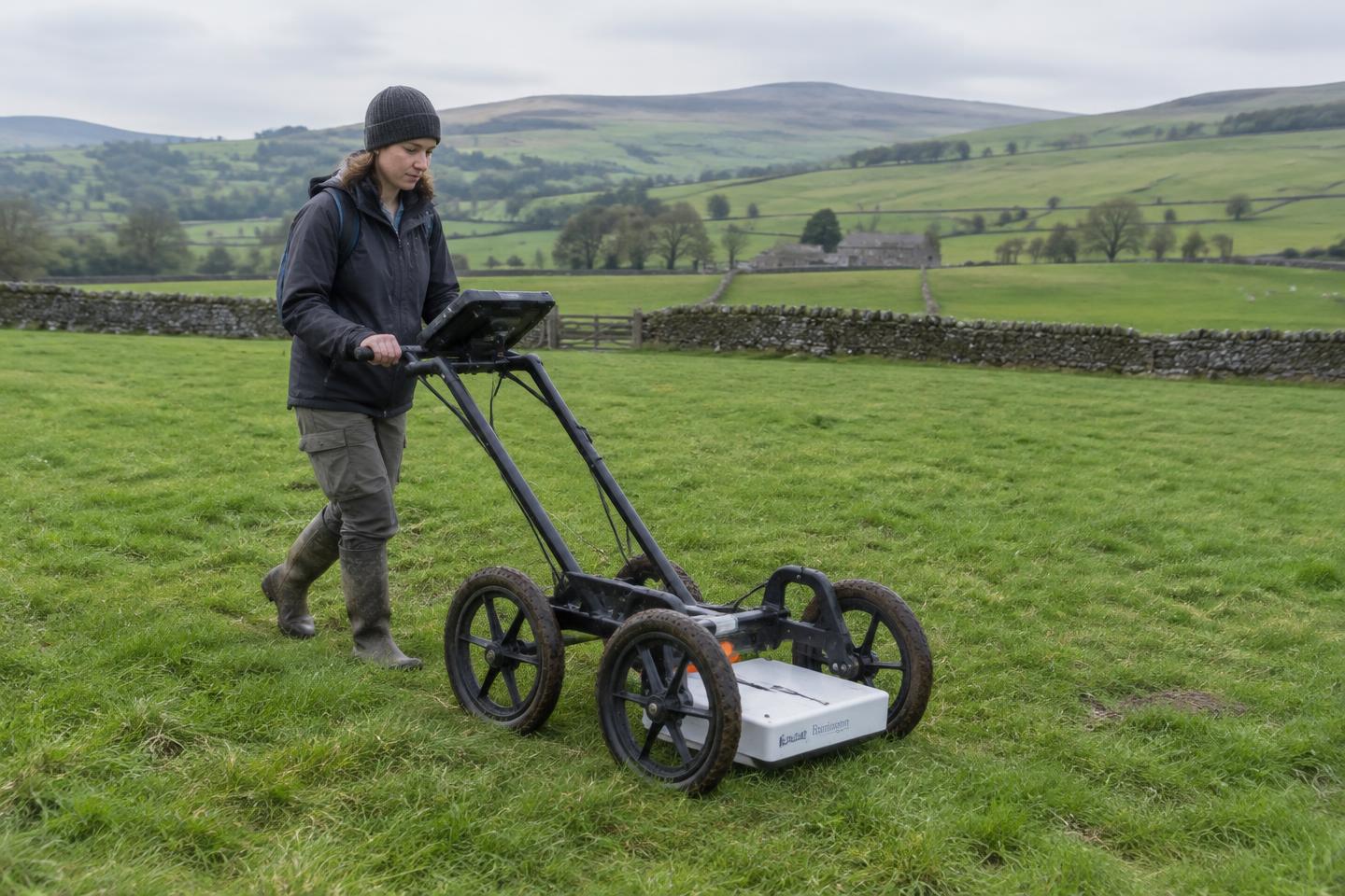
What it is
Geophysical survey measures subtle variations in the ground to detect buried ditches, pits, walls and hearths — all without breaking the surface. Magnetometry is the most common technique on rural development sites.
Why do it first
It is fast and relatively inexpensive, so it is often the first fieldwork step after desk-based assessment. The results show where archaeology is likely, so trial trenches can be targeted precisely rather than spread across a whole site.
Its limits
Results depend on geology and feature type. Some archaeology does not show up clearly, which is why survey is usually confirmed by trial trenching. We advise honestly where survey is unlikely to add value.
What you receive
Processed plots, an interpretive plan and a report suitable for the planning authority — all integrated with your site's mapping.
This guide is general information, not advice for a specific site. Talk to our team about your project.