
Service
Geomatics & topographic survey
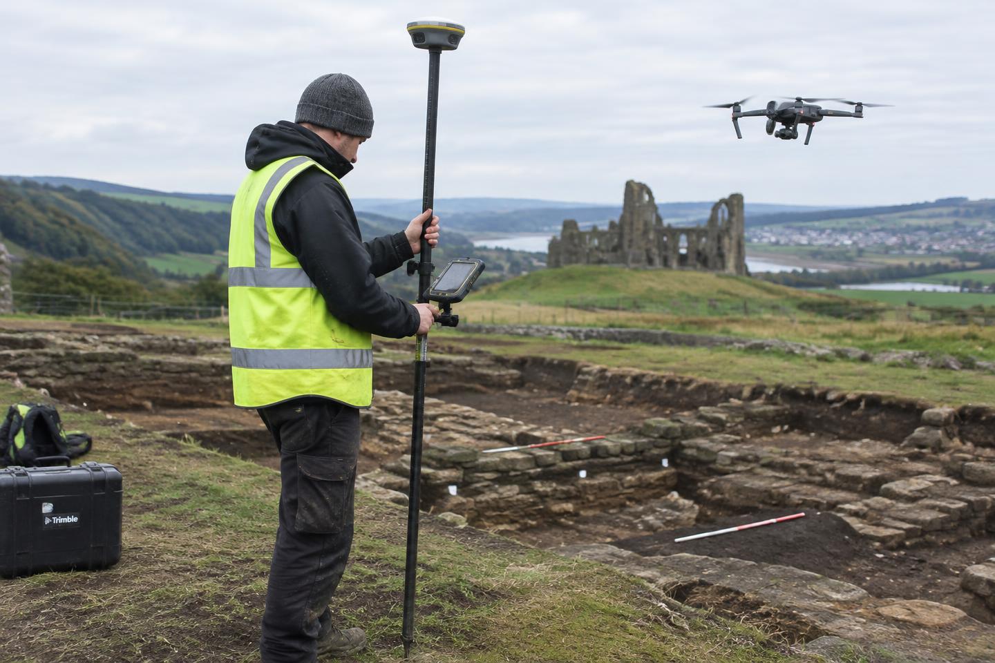
Our geomatics team produces accurate site plans, earthwork surveys and 3D records that underpin every stage of archaeological work.
When you might need it
- Earthwork and landscape survey
- Site and trench location plans
- 3D recording of complex features
What we deliver
- GNSS and total station survey
- Drone photography and photogrammetry
- GIS mapping
- CAD and GIS outputs
Common questions
Can you provide survey data for our designers?
Yes. Outputs can be supplied in the CAD and GIS formats your team uses.
Available across: North Yorkshire, York, East Yorkshire, West Yorkshire, South Yorkshire, Teesside & County Durham, Lincolnshire, Northern England
Start a conversation