
Service
Desk-based assessment
A desk-based assessment brings together the known archaeological and historic record for a site so you, your planners and the local authority understand its potential early, before design decisions are fixed.
When you might need it
- Pre-application, to understand risk before buying or designing a site
- When a local planning authority requests a heritage statement
- To support Environmental Impact Assessment chapters
What we deliver
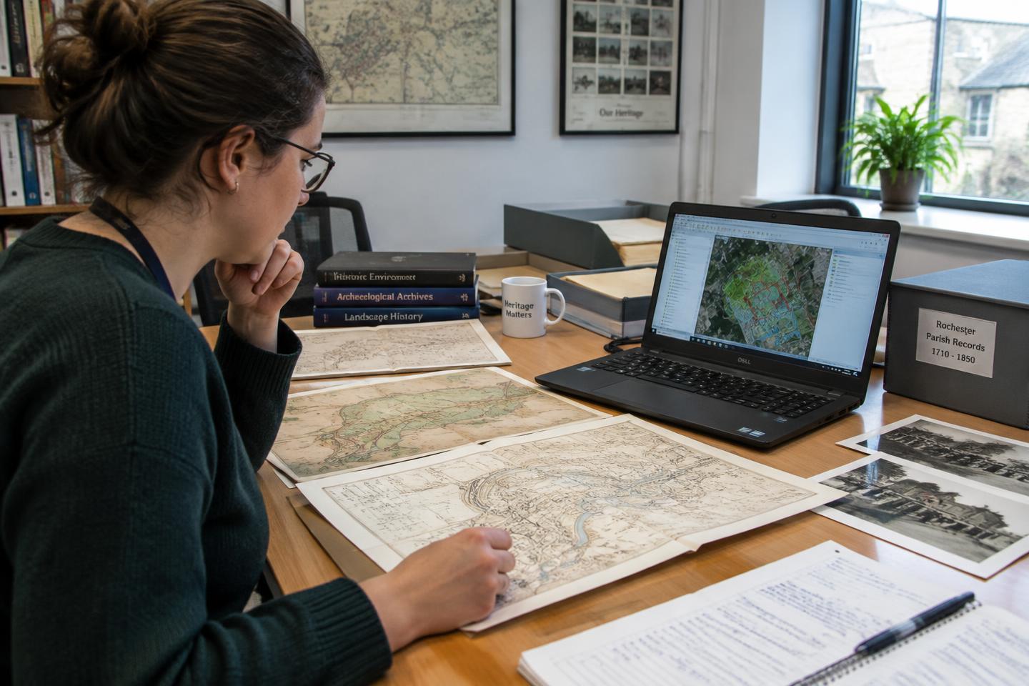
- Historic Environment Record and archive searches
- Historic mapping, aerial imagery and LiDAR review
- Site walkover and setting considerations
- A clear statement of significance and proportionate recommendations
Common questions
How long does a desk-based assessment take?
Timescales depend on site size and archive access. We agree a programme at enquiry stage and keep you updated throughout.
Will it always lead to fieldwork?
No. Where the evidence shows low potential, the assessment may be enough to satisfy the planning authority.
Available across: North Yorkshire, York, East Yorkshire, West Yorkshire, South Yorkshire, Teesside & County Durham, Lincolnshire, Northern England
Start a conversation